J.H. Andrews : Irish Ordnance Survey maps explained


Click an illustration to enlarge it. More images below.
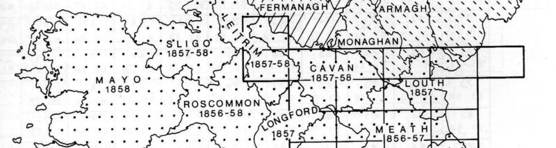
A guide to Irish Ordnance Survey maps with an introductory essay followed by a description of each series and an index diagram of sheet layout, or an example section of the series. Of particular use are the details of town plans issued and dates. Much information on mainland activities is included.
History in the Ordnance map : an introduction for Irish readers. J.H. Andrews. Second edition. New preface and bibliography. 72pp illus. bibliog. 1993. New copy.
£7.50 post free.
Full details, including index diagrams for all Ordnance Survey small scale maps can be found in Roger Hellyer’s book.


Click an illustration to enlarge it.